
PanoVolo
PanoVolo stitches drone and camera photos into panoramas, including full 360° spheres. It uses drone location and orientation data to help align images and supports batch processing and 16-bit DNG or TIFF output.
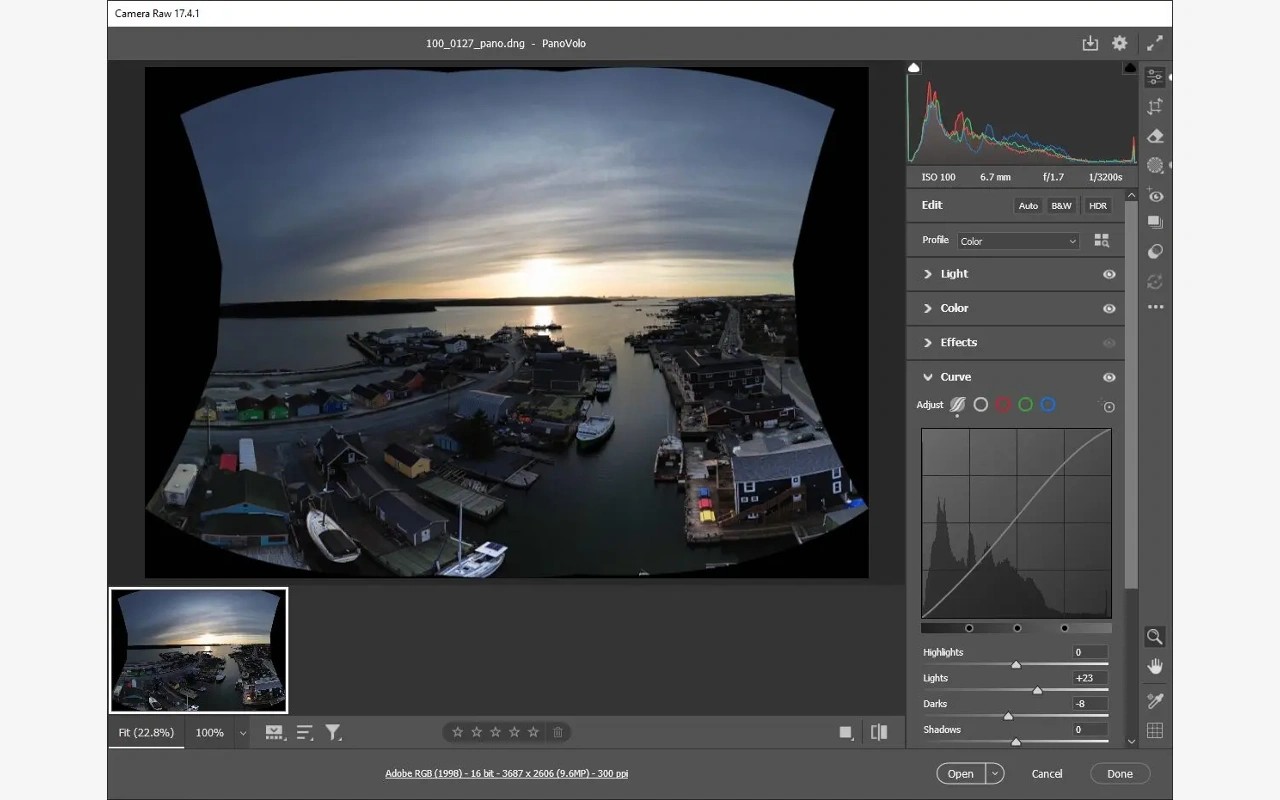
PanoVolo combines photos into panoramas, with tools tailored to drone photography. It uses location and orientation data saved by a drone alongside image analysis to align the shots. It also works with panoramas captured using handheld, 360, DSLR, mirrorless, and smartphone cameras.
You can stitch JPEG, DNG (RAW), or TIFF images. DNG and TIFF inputs use 16-bit processing, with 16-bit DNG or TIFF output available for further editing. Batch mode processes multiple folders with predefined settings and saves the results to a chosen folder, including when reading directly from a drone or 360 camera’s PANORAMA folder on an SD card.
Supported layouts include wide-angle, vertical, 180°, and full 360 × 180° spherical panoramas. You can choose a projection, including the stereographic projection used for a “little planet” effect, or let the app select one automatically. PanoVolo can also straighten curved horizons and fill gaps at the top of spherical panoramas, including during batch processing.
Review tools show image boundaries, connections, and alignments so you can inspect how individual shots contribute to a panorama. You can adjust the panorama’s center and correct stitching errors. A 3D map shows the drone’s position and camera direction for each image, while a built-in interactive viewer lets you explore spherical panoramas.
All panorama processing takes place locally, without sending source images or stitched panoramas to the cloud. PanoVolo is available for Mac and Windows.
Tags
More in Photo & Video

Morphiqo
Photo & Video
HUUSH
Photo & Video